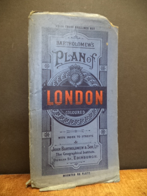
London / J. Bartholomew,
Bartholomew’s Plan of London – Coloured with Index to Streets,
Edinburgh, John Bartholomew and Son Ltd., o.J. [ca. 1916], ca. 82 x 56 cm (folded to 20 x 11 cm), eine leinenkaschierte (″mounted on cloth“) farbige Stadtarte (Maßstab ca. 1:20.000) +44seitiges Beiheft (Visitors Guide to London + Index to Streets and Railway Stations), Text: englisch, in blauer original Klapp-Kartonage mit schwarzer und roter Deckelbeschriftung, der Einbanddeckel angerändert und vorne oben mit kleiner Eckfehlstelle,,sonst ein altersgemäß gutes, sauberes Exemplar (Nr. 38641AB)
Map of central London showing street, public buildings, railways, underground railways, omnibus & tramway routes and boundaries of postal district.
| Preis | EUR | 80,00 | |
| Porto | EUR | 3,00 | |
| Gesamt | EUR | 83,00 |
Dieser Titel gehört zur Katalog-Sachgruppe Atlanten, Karten, Stadtpläne.
Bestellen Sie einfach per Email info@orbanundstreu.de oder Telefon 069/944155-70. Angebot freibleibend.

